Alaska Tsunami Scare: A 7.3-Magnitude Earthquake Triggers Brief Alert

On Wednesday, July 16, 2025, a powerful 7.3-magnitude earthquake struck off the coast of Alaska’s Aleutian Islands, prompting a tsunami warning that sent thousands of residents in coastal communities scrambling for higher ground. The quake, centered approximately 54 miles south of Sand Point on Popof Island, occurred at 12:37 p.m. AKDT (4:37 p.m. ET) at a depth of about 12 miles, according to the U.S. Geological Survey (USGS). While the event caused significant alarm, the tsunami warning was downgraded to an advisory within an hour and fully canceled by 2:45 p.m. AKDT, with only a small, non-damaging tsunami wave recorded. Here’s a detailed look at the event, its impacts, and the response from authorities and residents.
The Earthquake: A Seismic Wake-Up Call
The earthquake originated along the Alaska-Aleutian subduction zone, a seismically active region where the Pacific Plate slides beneath the North American Plate. This tectonic boundary is notorious for producing powerful quakes, including the 9.2-magnitude Great Alaska Earthquake of 1964, the strongest ever recorded in North America. Wednesday’s quake, while significant, was not unexpected in this geologically volatile area. According to the Alaska Earthquake Center, it was the fifth earthquake exceeding magnitude 7.0 in this small stretch of the Aleutians since 2020, indicating heightened “geologic unrest” in the region.
The quake was felt as far away as Anchorage, nearly 600 miles northeast, though no significant damage was reported. In Sand Point, a fishing community of about 600 residents, the shaking was intense. Debi Schmidt, the city administrator, described it as the “biggest one” she’d ever felt, with household items falling and cupboard doors swinging open. Despite the intensity, she reported no damage. In Cold Bay, resident Michael Ashley noted the shaking was mild, and the community’s elevation 100 feet above sea level reduced concerns about tsunami impacts.
The Alaska Earthquake Center recorded over 40 aftershocks in the first three hours, the largest reaching a magnitude of 5.2. Seismologist Michael West emphasized that aftershocks could continue for days, weeks, or even months, though most are expected to be smaller.
Tsunami Warning and Response
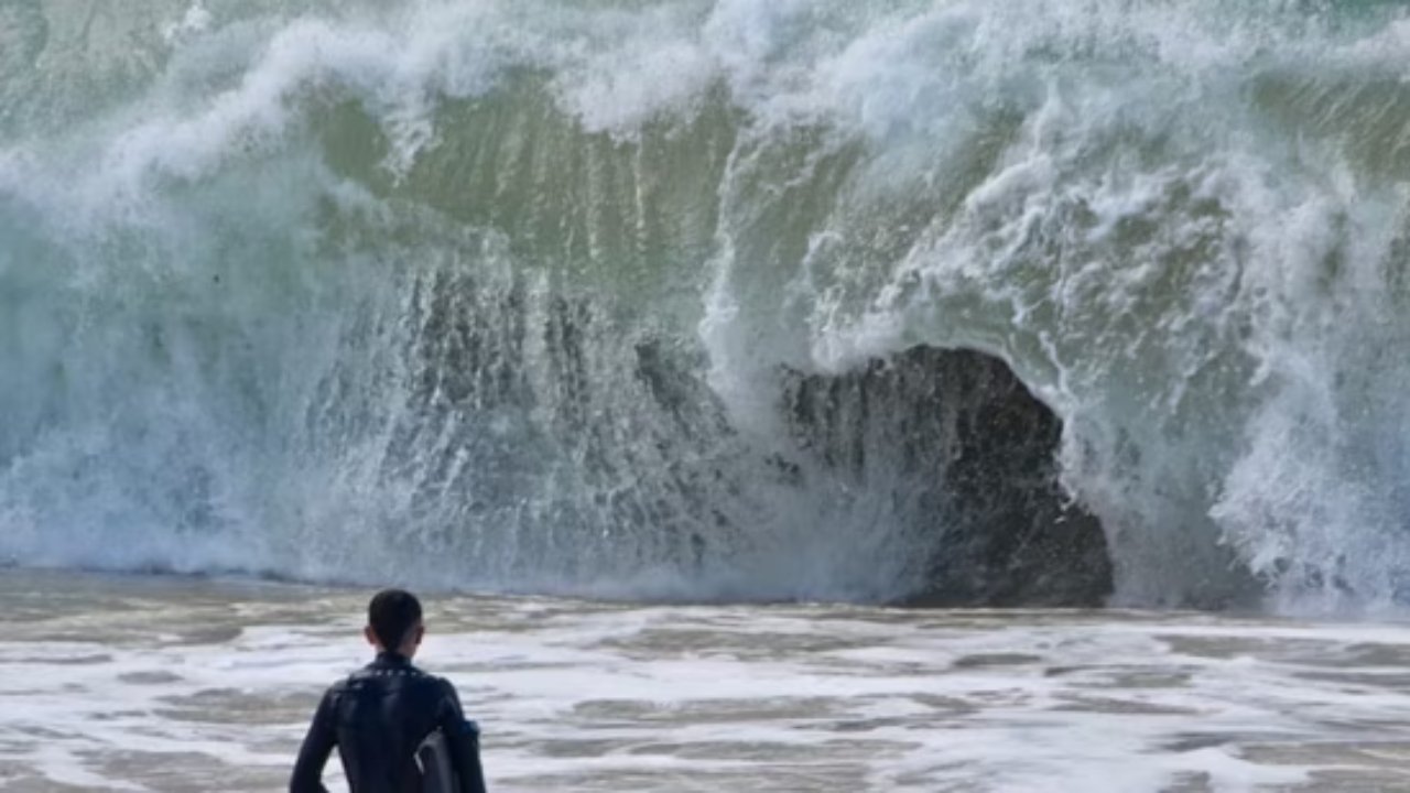
Immediately following the earthquake, the National Tsunami Warning Center (NTWC) issued a tsunami warning for a 700-mile stretch of Alaska’s southern coast, from Unimak Pass in the west to Kennedy Entrance, about 40 miles southwest of Homer. The warning included communities like Sand Point, Cold Bay, Kodiak, and Unalaska, where residents were urged to evacuate to higher ground or upper floors of sturdy buildings. The NTWC confirmed a tsunami had been generated, with initial wave arrival times forecasted for Sand Point at 1:30 p.m., Cold Bay at 2:25 p.m., and Kodiak at 2:40 p.m. AKDT.
In Kodiak, a hub with a population of over 12,500, tsunami sirens blared, and residents like public defender Lauren Cojei received mobile alerts, prompting swift evacuations. Cojei, originally from Michigan and unfamiliar with tsunamis, described her heart racing as she drove to her tsunami-safe home. Susan Johnson, a manager at the Best Western Kodiak Inn, went door-to-door to ensure guests evacuated. In Homer, cars lined up bumper-to-bumper as people fled the low-lying Homer Spit. The U.S. Coast Guard in Kodiak evacuated personnel to higher ground and prepared air crews for potential assistance.
By 1:50 p.m. AKDT, the NTWC downgraded the warning to an advisory, indicating that while strong currents and waves could pose dangers near the water, widespread inland flooding was unlikely. A buoy near Sand Point measured a small tsunami wave of just 0.2 feet (about 3 inches), confirming minimal impact. By 2:45 p.m., the advisory was canceled, and local authorities, including the Homer mayor, issued an “all clear.” The NTWC advised residents to check with local officials before returning to low-lying areas.

Community Preparedness and Tsunami Risk in Alaska
Alaska’s southern coast lies along the Pacific “Ring of Fire,” a region prone to frequent earthquakes and occasional tsunamis. The Alaska Earthquake Center and the National Tsunami Hazard Mitigation Program emphasize that tsunamis in Alaska are “near-field” hazards, meaning they can strike within minutes of an earthquake, leaving little time for evacuation. This urgency was evident in Wednesday’s response, with communities like Unalaska advising residents to move at least 50 feet above sea level and a mile inland.
The Alaska Division of Geological & Geophysical Surveys, in partnership with the Alaska Earthquake Center, produces tsunami inundation maps to guide evacuation planning. These maps, available for communities like Homer, detail safe zones and evacuation routes, such as Kachemak Drive and Pioneer Avenue in Homer, which are marked with blue and white tsunami evacuation signs. The Homer Police Department offers elevation assessments to help residents determine their risk.
Historically, Alaska has faced devastating tsunamis, such as the 1946 Unimak Island tsunami, which killed 159 people in Hawaii and one in California, and the 1964 tsunami, which claimed over 250 lives. Wednesday’s event, while minor in comparison, underscored the importance of early warning systems. X user Tyler, who shared footage of sirens in Old Harbor, praised their effectiveness, noting, “Really great that these early warning systems exist and work.”
Looking Forward: A Reminder of Nature’s Power
No injuries or significant damage were reported from the earthquake or tsunami, a testament to Alaska’s robust preparedness measures. However, the event highlighted the ongoing seismic risks in the region. Seismologist Michael West noted that the Aleutian chain remains capable of larger quakes, with nine magnitude 7.0 or higher events recorded in the area since 1900. The recent uptick in activity since 2020 suggests the region may be in a period of heightened seismic stress.
For Alaskans, Wednesday’s scare was a reminder to stay vigilant. The Alaska Earthquake Center advises residents to familiarize themselves with evacuation routes and sign up for emergency alerts, such as those offered by the Kenai Peninsula Office of Emergency Management. Boaters are cautioned against taking vessels offshore during a tsunami, as strong currents pose significant risks. Instead, they should seek high ground or safe zones until authorities confirm safety.
As climate change increases the risk of landslide-triggered tsunamis in regions like Alaska, as seen in a 2023 Greenland event, continued investment in monitoring and preparedness will be critical. While coastal communities are currently relieved, the event serves as a stark reminder of the unpredictable power of nature along Alaska’s rugged shores.


Post Comment